
- This event has passed.
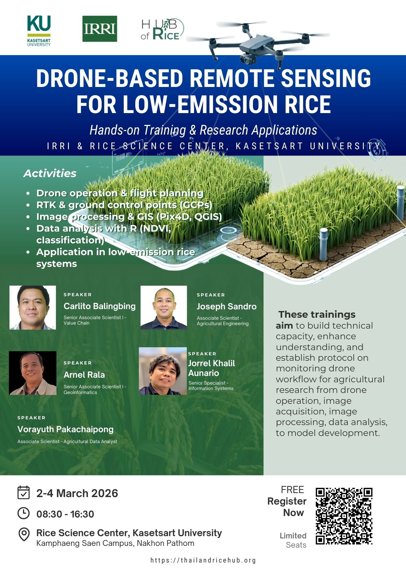
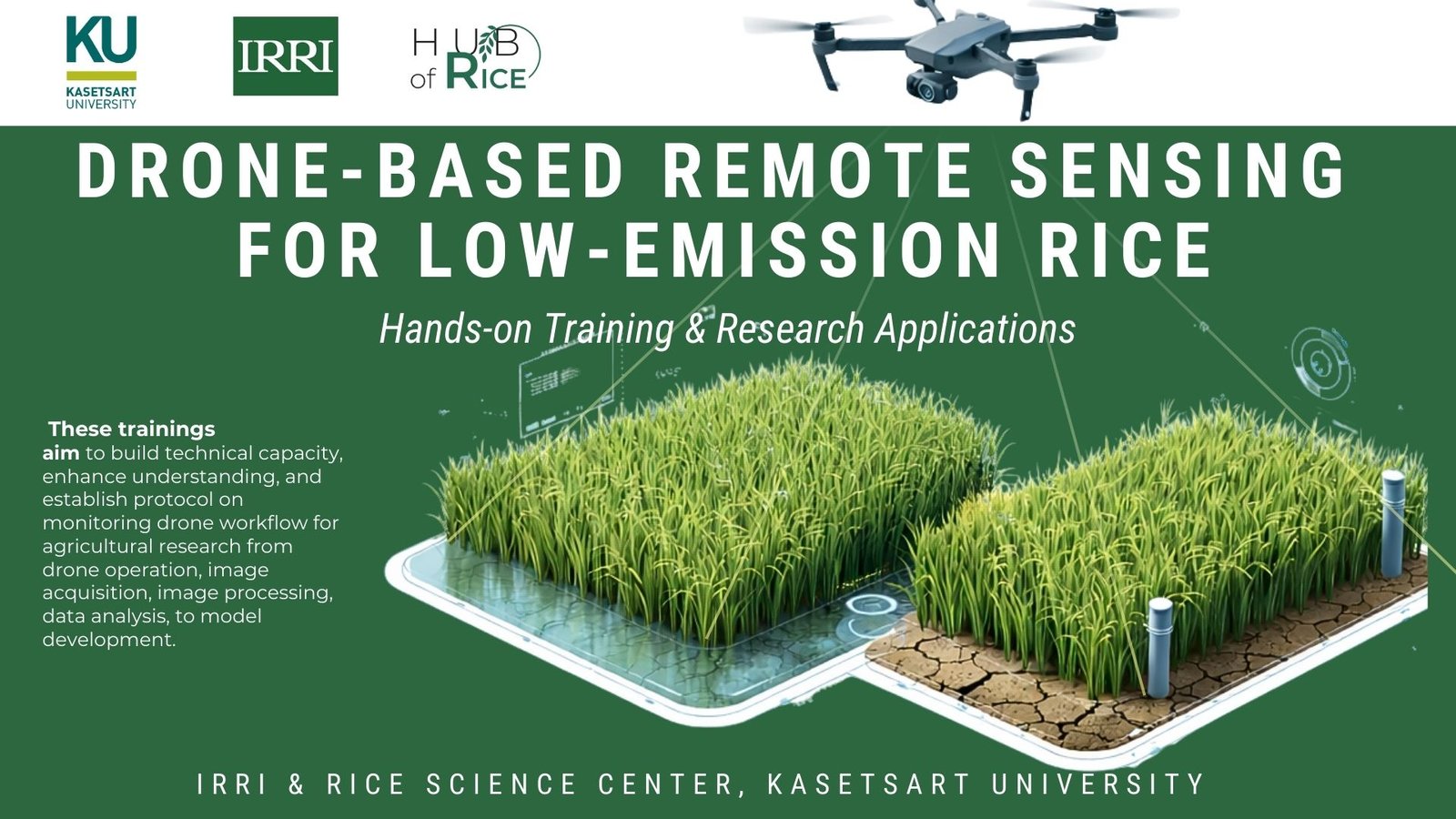
Drone-Based Remote Sensing for Low-Emission Rice
Event Timing: วันที่ 2 – 4 มีนาคม 2569
Event Address: ศูนย์วิทยาศาสตร์ข้าว มหาวิทยาลัยเกษตรศาสตร์ วิทยาเขตกำแพงแสน อ.กำแพงแสนจ.นครปฐม
Register: ฟรี จำนวนจำกัด
Contact: anut.su@ku.th
ลงทะเบียนเข้าร่วม/Register Now
Training Program: Drones for Low-Emission Rice Research
Location: Thailand (KU Rice Science Center)
Overview
In rice farming, drone technology was developed for both input applications and monitoring. The “input drone” or “agricultural drone” can be used for spray pesticides, spread seed or fertilizer with less labor and water. The “monitoring drone” or “survey drone” can be used for crop scouting, weed detection, and variable rate applications with more precise resource utilization and less impact to the environment. Many advantages of drone technology are surfacing, however using drones for agricultural research requires careful planning and clear procedures to derive useful and reliable data.
To support and promote effective implementation of drones for agricultural research, it is essential to conduct targeted training programs for partner organizations and stakeholders. These trainings aim to build technical capacity, enhance understanding, and establish protocol on monitoring drone workflow for agricultural research from drone operation, image acquisition, image processing, data analysis, to model development.
Objectives
- Describe procedures in operating drones for image capture in the field
- Detail activities on drone flight planning operations and RTK survey
- Explain the importance of field ground control target methods
- Conduct hands-on activities on image processing
- Demonstration image data extraction and analysis
Key activities
- An introductory presentation about drone applications in agriculture, research and development
- Inputs on drone operations for image capture: Classroom
- Field activities on drone flight planning operation, RTK survey and setting-up GCPs
- Lecture and exercises on drone image processing methods
- Discussion on sample processed imagery from drone capture
- Lectures on image data extraction and analysis and exercises on sample data
Speakers
- Carlito Balingbing – Senior Associate Scientist I – Value Chain
- Joseph Sandro – Associate Scientist – Agricultural Engineering
- Arnel Rala – Senior Associate Scientist I – Geoinformatics
- Jorrel Khalil Aunario – Senior Specialist – Information Systems
- Vorayuth Pakachaipong – Associate Scientist – Agricultural Data Analyst
Training Program Schedule
Day 1: Drone Operations, Airspace Regulation, and Equipment
March 02, 2026
| Time | Activities | Resources Required |
|---|---|---|
| 08:30 – 09:00 | Participant registration, welcome remarks, and workshop overview, and introduction of participant | Secretariat |
| 09:00 – 09:30 | Brief presentation on the results of the pre-training workshop | V. Pakachaipong |
| 09:30 – 10:30 | Introduction • Lecture/discussion • Overview of drone applications in agriculture, research and development (IRRI’s drone-related projects and protocols) |
C. Balingbing |
| 10:30 – 10:45 | Coffee Break | – |
| 10:45 – 12:00 | Airspace regulation & drone policies in Thailand: • National and international drone regulations, permits, flight zones, ethics, and safety considerations |
V. Pakachaipong |
| 12:00 – 13:00 | Lunch break | – |
| 13:00 – 14:00 | Drone equipment overview • Introduction to key components: drone types, controllers, sensors, RTK systems, and accessories. |
J. Sandro |
| 14:00 – 15:00 | Ground Control Points (GCPs) & Calibration • Setting up GCPs, using calibration panels, and ensuring data accuracy |
J. Sandro |
| 15:00 – 15:30 | Coffee/Tea Break | – |
| 15:30 – 17:00 | Drone set-up & field demo: • Hands-on demonstration of drone setup, RTK connection, and calibration workflow. |
J. Sandro |
| 17:00 – 17:15 | Recap key learnings: Q & A | Participants / Resource Persons |
Day 2: Photogrammetry, Image Stitching, and GIS Processing
March 03, 2026
| Time | Activities | Resources Required |
|---|---|---|
| 08:30 – 09:00 | Review Day 1 and Introduce photogrammetry and mapping concepts. | V. Pakachaipong |
| 09:00 – 10:30 | Principles of aerial image capture, overlap, resolution, and accuracy requirements. | A. Rala |
| 10:30 – 10:45 | Coffee Break | – |
| 10:45 – 12:15 | Level 1 Image Processing: • Introduction to drone image processing software • Drone image quality assessment (QGIS, Pix4D) • Processing workflow using Pix4D |
A. Rala |
| 12:15 – 13:15 | Lunch break | – |
| 13:15 – 14:45 | Level 1 Image Processing: • Generating orthomosaics, DEMs, and other spatial layers for analysis. |
A. Rala |
| 14:45 – 15:00 | Coffee/Tea Break | – |
| 15:00 – 16:30 | Basic GIS Processing • Importing drone data into GIS; basic visualization, digitization, and measurement tools. |
A. Rala |
| 16:30 – 17:00 | Day 2 Wrap-up • Group reflection and preparation for R-based analysis. |
V. Pakachaipong |
Day 3: Research Integration and Advanced Image Processing with R
March 04, 2026
| Time | Activities | Resources Required |
|---|---|---|
| 08:30 – 09:00 | Recap and Introduction to Day 3 | V. Pakachaipong |
| 09:00 – 09:30 | Field Data Integration with R • Linking drone-derived data with field datasets using R (e.g., spatial joins, data cleaning). |
J. Aunario |
| 10:30 – 10:45 | Coffee Break | – |
| 10:45 – 12:15 | Basic Image Processing with R: • Using R packages (e.g., raster, terra, sf) for image handling and basic analysis. |
J. Aunario |
| 12:15 – 13:15 | Lunch break | – |
| 13:15 – 14:45 | Advanced Image Analysis with R: • NDVI and other indices, classification, and change detection using drone imagery. |
J. Aunario |
| 14:45 – 15:00 | Coffee/Tea Break | – |
| 15:00 – 16:30 | Wrap-up & Awarding of Certificates: • Final reflections, feedback, discussion on integrating drone research with agronomy, data sharing practices, and potential collaborations. |
Participants / Resource Persons |